


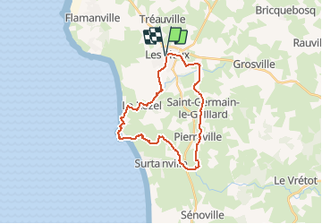

23 km | 28 km-effort

Benutzer


Kostenlosegpshiking-Anwendung
 SityTrail
IGN / Geografische Institute
SityTrail World
Die Welt öffnet sich für Sie
Tour Laufen von 23 km verfügbar auf Normandie, Manche, Les Pieux. Diese Tour wird von tracegps vorgeschlagen.
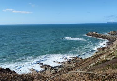
Départ de la mairie de les Pieux. Circuit très sympa, mais attention en hiver, le terrain est très très gras ou bon entraînement pour les traileurs avertis . Retrouvez le circuit sur le site de l'Office de Tourisme de La Hague.


Wandern
Mountainbike
Wandern
Wandern

Mountainbike

Mountainbike

Wandern
Wandern